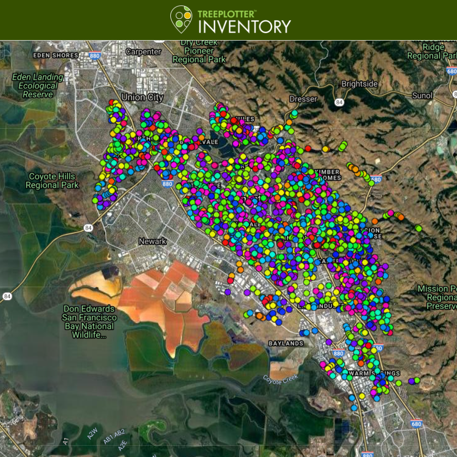
EXPLORE OUR URBAN FOREST

The City’s tree inventory was conducted using the tree inventory management software, TreePlotter™. TreePlotter is a SaaS platform created by PlanIT Geo™ to map and manage urban forests across the globe. Built on a web-based GIS platform and optimized for mobile use, this software for the City of Fremont enables users to view tree-related information such as location, tree species diversity, and size distribution.
This application for the City of Fremont enables the city to add, track, and manage tree data throughout the city’s public areas (rights-of-way, parks, and facilities). It should be noted that this is not a complete data set and the tree points and attributes are ever-changing as the city maintains the software application. Additional functionality and data such as tree condition and maintenance needs are provided to users with an account. Explore more at https://www.fremont.gov/government/departments/urban-forestry
